Building effective community health worker programs requires effective partnership: with the government in the driver’s seat, technical partners like Last Mile Health provide tailored support in achieving their goals. Together, we ensure every community can access quality primary care by a paid, professional community health worker. Though this shared mandate is clear, in reality many challenges exist, from the extreme remoteness of hard-to-reach communities to a lack of infrastructure in rural communities, to incomplete records of health facilities and health workers. How can we ensure each rural and remote community is connected with a community health worker—and each community health worker is able to deliver care that addresses that community’s needs? One essential tool is geospatial mapping.
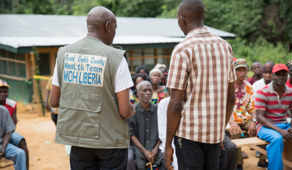
County health team staff use boats and motorbikes to reach remote communities in Rivercess County, Liberia.
Geospatial mapping helps governments and partners understand community health workers’ reach and coverage as well as communities’ needs. It begins with aligning on what data the Ministry of Health needs, followed by training the team to collect and document GPS coordinates. Then, the fieldwork begins. In hard-to-reach areas, this means long journeys by jeep, motorbike, and boat, followed by hours of trekking on foot through dense forest and across narrow bridges. Teams map communities and resources like health centers, community health workers, water sources, and roads. This reveals where gaps remain, allowing governments to understand where communities are underserved and how best to address barriers to care.
In Sierra Leone, a member of the geospatial mapping team speaks with a community member and records data.
Through funding from Project BIRCH through the Global Fund and Africa Frontline First, Last Mile Health is working in partnership with Ministries of Health in Sierra Leone and Liberia to map critical information and strengthen each country’s community health programs. Here’s how we’re adapting geospatial mapping to suit the needs of two different national programs, and what will come next.
Sierra Leone: Building a comprehensive map of the primary care system
Although community health workers have provided services in rural Sierra Leone for many years, it was not until 2021—under a new national policy and in partnership with Last Mile Health—that the country deployed its first cadre of community health workers trained to deliver integrated care across a full package of essential primary health topics. The integrated National Community Health Program is early-stage, and one key challenge is the absence of a complete, up-to-date community health worker masterlist. Lacking a comprehensive database of where community health workers are located, the size of the populations they serve, or whether their catchment areas are considered “easy-to-reach” or “hard-to-reach” makes it difficult or impossible to understand where new community health workers are needed. It can also contribute to coverage gaps, excessive workloads, and delays in payment.
Walking a motorbike across a footbridge during geospatial mapping in Sierra Leone.
Beginning in late 2024, Last Mile Health and the Sierra Leone Ministry of Health conducted geospatial mapping in all 16 districts in the country. The exercise aimed to map all primary health units and community health workers as well as determine the size and population of each catchment area. Additionally, it documents key features of the community health workforce, including its gender makeup.
“In Sierra Leone’s context, this is something new—it’s more comprehensive than any previous geomapping,” explains Carlos Velázquez, Last Mile Health’s Country Director, Sierra Leone. “Our aim is to institutionalize community health workers within the health system, ensuring they are properly identified and we know where they are and who they’re serving. Then, alongside the Ministry, we’ll use the data to ensure timely and correct payment, replacing community health workers lost to attrition, and filling coverage gaps. This may seem small—but in hard-to-reach communities, it’s actually life-changing.”
Loading motorbikes into a canoe en route to map community health workers’ locations in Sierra Leone.
Already, the team has identified community health workers who had not been included on current masterlists, as well as areas where new community health workers must be recruited and trained to replace those no longer working. Ultimately, the comprehensive masterlist will streamline data sharing from the community level by ensuring community health workers are accounted for and accessible by a working phone number. It will also help the Ministry reduce supply stockouts and payroll oversights. “These are needed steps in professionalizing Sierra Leone’s community health workforce,” says Carlos. “Without geospatial mapping, closing these gaps would be impossible.”
Liberia: Capturing community-level data to inform health investments
A community health worker walks toward homes in Rivercess County, Liberia on a path accessible only by foot.
Liberia launched its National Community Health Program in 2016 with Last Mile Health’s technical support, and as of June 2024, the program reached national scale. Compared to Sierra Leone, Liberia’s program is relatively mature: the Ministry and its partners have a strong understanding of where community health workers and primary health facilities are located, and training across an essential package of primary care services has been foundational to the program since its inception.
Still, the Ministry and Last Mile Health have identified a number of areas where incomplete information poses challenges—particularly in understanding communities’ locations and specific needs. The team leveraged geospatial mapping to document communities and data points including water sources, community health worker coverage, and distance to the nearest health facility. The data will equip the Ministry to make informed decisions and use resources efficiently and sustainably while improving the quality of services the program provides, says Dr. Mardieh Dennis, Last Mile Health’s Senior Director, Technical Services in Liberia: “Many community health workers serve multiple communities, some of which are really far apart and difficult to visit in one day. Having coordinates of communities, community health worker locations, and community populations can help the Ministry of Health optimize community health workers’ distribution both in terms of numbers and geographic location.”
A water source near a health facility in Liberia.
Understanding health facilities’ locations relative to community health workers and communities is also key to using resources effectively, Mardieh says. “Since the initial planning for the National Community Health Program, new facilities may have opened or previously operational facilities may have closed,” she explains. “The mapping data will help to identify if there are communities currently being served by a community health worker that are no longer remote—or communities that previously did not need a community health worker but are now more than five kilometers from a health facility.”
In very remote areas, even the location of communities themselves can be an unknown. “Geospatial mapping has uncovered new communities even the county health teams have never been to,” says Brittney Varpilah, Last Mile Health’s Country Director, Liberia. “It shows us clearly that there’s a last last mile: communities that still aren’t reached even with systems designed to reach them. The government can’t provide health coverage for communities they don’t know exist. We’re putting those communities on the map in a literal sense.”
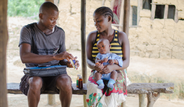
Community members with community health worker Evon Douwee (center) in Borkor’s Point, Liberia.
Additional data on water sources, infrastructure, and network coverage provides crucial insight into what future investments are needed and how to advocate for them. “Having data that shows us where people live in relation to health facilities, and what the realities of the roads are, allows us to advocate for investing across sectors,” Brittney explains. “We can understand how improving specific roads will reduce health system costs by measurable amounts, for example, and how investments that benefit more than one sector are really valuable for sustainability and government ownership.”
Mapping previously undocumented communities and connecting them to the health system carries additional benefits that extend beyond borders. “Often, new disease threats can emerge outside the scope of the formal health system,” Brittney explains. “By the time health leaders become aware of these threats, valuable time has passed. When community health workers connect with these communities, and in turn connect to their supervisors and the larger health system, this means identifying emerging threats much more quickly.” Globally, this is key to preventing potential outbreaks.
Many remote communities are accessible only via wooden footbridges like this one in Liberia.
Sierra Leone, Liberia, and beyond: What’s next?
For Ministry staff and technical partners, geospatial mapping is a physically demanding, time-consuming undertaking. But for community health workers and the communities they serve, this work is crucial. “Through blood, sweat, and sleepless nights, we uncovered the harsh truths of water and living conditions in remote communities—data that will enable the Ministry of Health to identify intervention gaps like WASH, save lives, and reduce waterborne diseases,” shares Alhaj Reeves, Last Mile Health’s Senior Technical Project Director, who oversaw geospatial mapping activities in the field in Liberia.
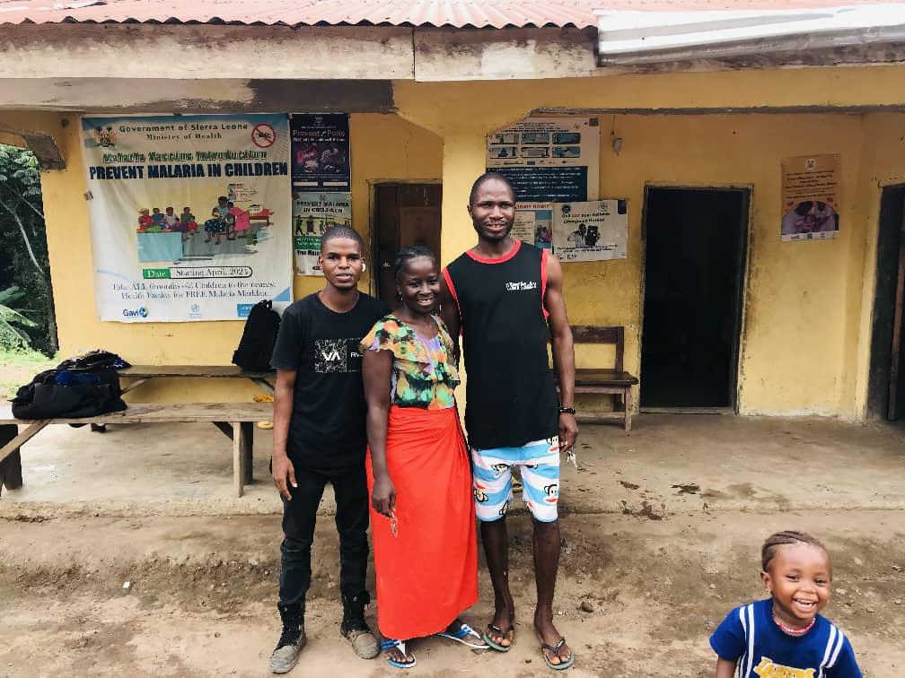
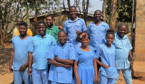
Community members at a health facility in Sierra Leone.
To ensure no patient is out of reach, we need to understand where health facilities, community health workers, and communities are—and what’s needed to connect them and meet their unique needs. Geospatial mapping equips government partners to make data-driven decisions, providing needed context in understanding the investments that will be most effective and cost-effective in strengthening community health systems. It demonstrates the potential of technical assistance and government partnership, leveraging data to make informed decisions for sustainable investments and long-term government ownership. In Sierra Leone, Liberia, and beyond, geospatial mapping is only the beginning: a first step toward developing effective, efficient interventions that will bring quality care within reach for patients, ensure fair pay and reasonable workloads for community health workers, and support increased health security for all.
“Geomapping transforms how we see and support our community health workers—it puts every name on the map and every need into focus,” says Richard Jinah Musa, Community Health Worker Regional Coordinator (East) for the Sierra Leone Ministry of Health. “We can deliver supplies where they’re needed most, track which community health workers are trained and deployed, and understand attrition like never before. It gives the national program the clarity and insight to make informed, equitable decisions—from drug distribution to incentive payments—ensuring no community is left behind.”